URBAN DESIGN MASTERPLAN
SHELLHARBOUR

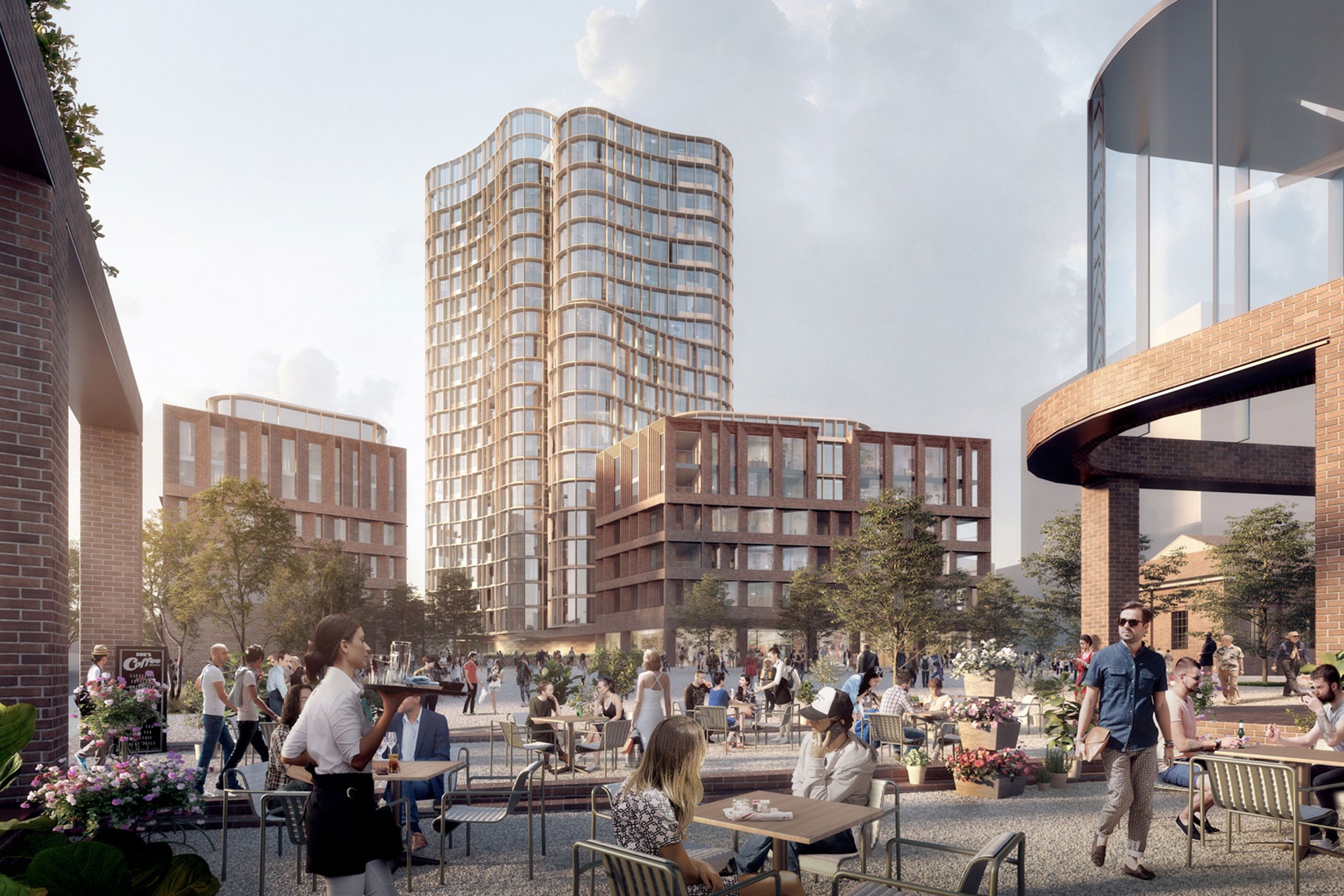
This study was an urban design led Masterplan and State-led Rezoning, exploring the development potential for Shellharbour City Centre and its ability contribute to increased residential density to the Illawarra region of NSW, leveraging the amazing location of the City Centre relative to the amenities of Lake Illawarra, the Coast, and the industrial and employment base of the southern regions. The project included a number of sub-precincts that were defined by their unique landscape character and their individual links to the broader environment. A complex existing flooding and drainage strategy was reviewed and clarified for the site that was able to unlock significant additional areas of public open space for recreation and supported by new density and activation along its edges. Some of the main themes explored in this project were: - Detailed housing type studies that linked block size, building depth, amenity, outlook, and deep soil with economic constraints such as minimising excavation due to specific geological conditions in an around the study area. - Detailed public domain studies of each sub-precinct, including street network, public spaces and infrastructure, to support increased density. Each of the new public spaces were designed with the natural topography and water management strategy such that each sub-precinct can be redeveloped independently and contribute to the ongoing water management of the whole City Centre. - Considered land use opportunities that respond to the constraints within the precinct, including those informed by the infrastructure and economic investigation packages. - Preparation of a detailed structure plan and yield analysis that identifies the potential dwelling uplift including a range of density scenarios. - This study also identified key components of the spatial, social & ecological context of Shellharbour.
category
URBAN DESIGN MASTERPLAN
recognition
State-led Rezoning Exhibition
location
Shellharbour City Centre, NSW
project data
1.2million square meters Approx. 75 dwellings / ha 9,835 Dwellings Inside Study Area 16,400 Dwellings in Broader Project Influence
project team
Everyone at MAKO, in collaboration with Studio Zanardo Consultant Team: The Planning Studio, Mott MacDonald, Atlas Economics, WSP